This section of the Great Train Adventure easily divides into three sections. South to Albuquerque at the end of April, Albuquerque, and west from Albuquerque at the beginning of May.
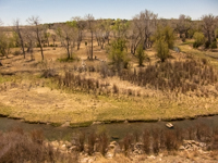
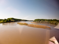
Coming south from Colorado we started to break out of the flat plains to pass through the mountain border. These dry stream beds had been common along our route and now I saw a few that while not flowing were wet puddles and we are making the transisition to junipers and jack rabbits as the elevation increases to the high point on our trip of about 7,500 feet which was about as high as we wanted to take Lori. We passed just east of the mountanous Santa Fe National Forest actually jogging south to miss Santa Fe and then along the headwaters of the Rio Grande to Albuquerque
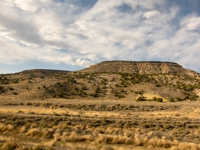
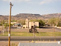
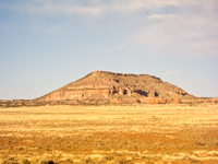
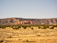
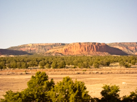
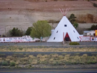
Leaving Albuquerque we cross the Rio Grande and get into the endless changing vistas of the west that I can and did watch for hours as you can see from just these few photos along the way, The church is in Grants just over half way from Albuquerque to Galllup. The Tee Pee is part of an Indian trading complex near the Truck Stop just before we pass into Arizona. I was so facinated with this area we will return for a more detailed look in 2018.
As part of our grand western loop we crossed northern Texas and entered New Mexico in the southeast headed for Alamogordo which is the site of the Michael McGarrity novels Lori has liked. From there we expected to visit Las Cruces where a close friend was considering retiring, and then head to Albuquerque and points north on our way to Washington.
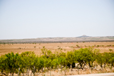
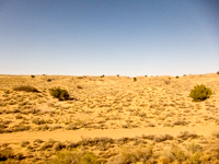
West Texas or eastern New Mexico is all prety much the same, junipers and jack rabbits. By the time we reached Artesia we were ready for a little civilization. Wandering around town I just happened to catch a small warning sign that the road ahead went to 8700 feet and Lori gets into serious pain above 8000. Oops. We made a quick left turn for an overnight in Carlesbad before continuing on the lower altitude route through El Paso, Texas and then north for a week in the campground just up north of Las Cruces.
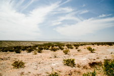
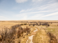
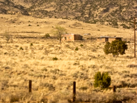
My primary memory of New Mexico was the dust and wind, wind and dust. Average annual rainfall in this area is about 9 inches a year and had very little since the prior August. The wind blows constantly picking up this very fine grit that gets into everything. I was actually quite concerned with it getting into the camera, laptop, and other sensitive areas.
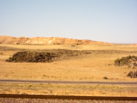
Heading up toward Albuquerque the landscape has not really changed from the eastern part of the state. We did stop at the El Camino Real Trail site and Museum but I really don't remember much except the monument. The time stamp of the photograph indicates it was probably near or after closing and we were in a hurry to get settled in Albuquerque before it got too late in the day.
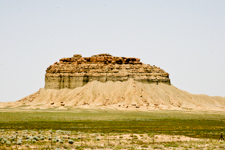
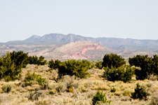
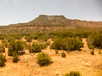
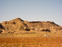
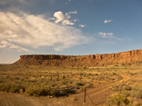
After two weeks in Albuquerque we headed up through the southwestern corner of Colorado and on to American Fork, Utah which is just south of Salt Lake City, Utah. Looking across toward the reddish hills the photograph appears hazy because it was. The butte was much closer and clearer.